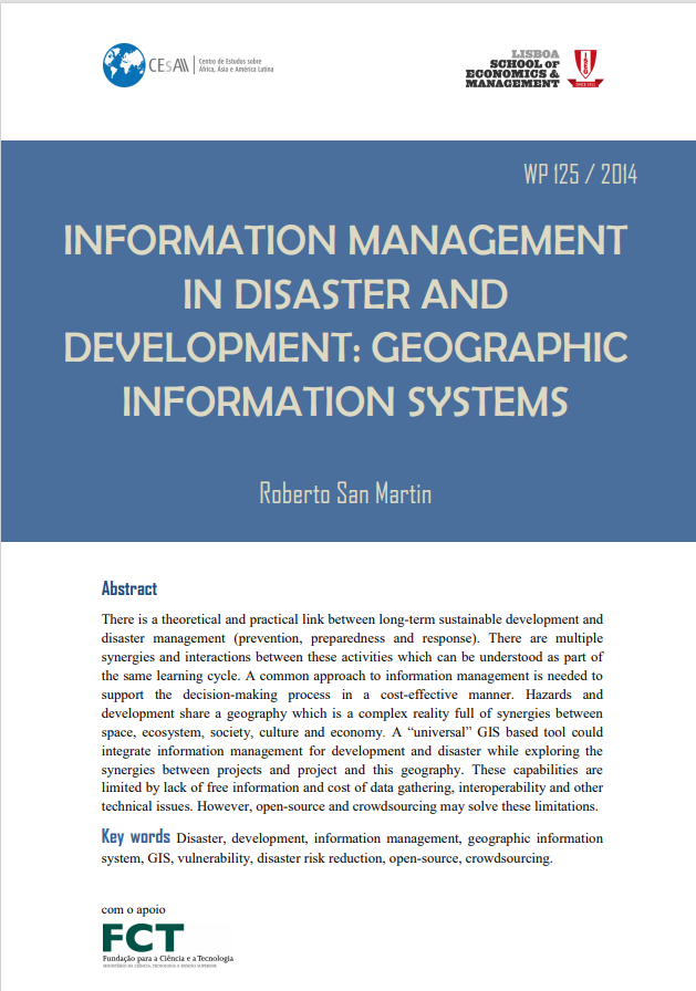
Working Paper 125/2014: Information management in disaster and development: geographic information systems

Title: Working Paper 125/2014: Information management in disaster and development: geographic information systems
Author(s): San Martin, Roberto
Publication Date: 2014
Publisher: ISEG - CEsA
Quotation: San Martin, Roberto. 2014. "Information management in disaster and development : geographic information systems". Instituto Superior de Economia e Gestão. CEsA - Documentos de Trabalho nº 125/2014.
Abstract: There is a theoretical and practical link between long-term sustainable development and disaster management (prevention, preparedness and response). There are multiple synergies and interactions between these activities which can be understood as part of the same learning cycle. A common approach to information management is needed to support the decision-making process in a cost-effective manner. Hazards and development share a geography which is a complex reality full of synergies between space, ecosystem, society, culture and economy. A “universal” GIS based tool could integrate information management for development and disaster while exploring the synergies between projects and project and this geography. These capabilities are limited by lack of free information and cost of data gathering, interoperability and other technical issues. However, open-source and crowdsourcing may solve these limitations.
Category: Working paper
Abstract:
Information management in disaster and development : geographic information systems considers the information management concept within disaster management (prevention/mitigation, preparedness and response) and long-term sustainable development (planning, monitoring and evaluation). Disaster management and development have synergies and requirements which can be addressed within a common approach. Both require management of structured information, accurate, easily accessed, displayed and updated. There is a theoretical and practical link between long-term sustainable development and disaster management (prevention, preparedness and response). There are multiple synergies and interactions between these activities which can be understood as part of the same learning cycle. A common approach to information management is needed to support the decision-making process in a cost-effective manner. Hazards and development share a geography which is a complex reality full of synergies between space, ecosystem, society, culture and economy. A “universal” GIS based tool could integrate information management for development and disaster while exploring the synergies between projects and project and this geography. These capabilities are limited by lack of free information and cost of data gathering, interoperability and other technical issues. However, open-source and crowdsourcing may solve these limitations.
Quotation:
San Martin, Roberto. 2014. “Information management in disaster and development : geographic information systems”. Instituto Superior de Economia e Gestão. CEsA – Documentos de Trabalho nº 125/2014.


